NEWYou can now listen to Fox News articles!
Fresh satellite images give a rare aerial view of the damage across Iran after U.S.-Israeli strikes and what Tehran’s retaliation left behind across the region.
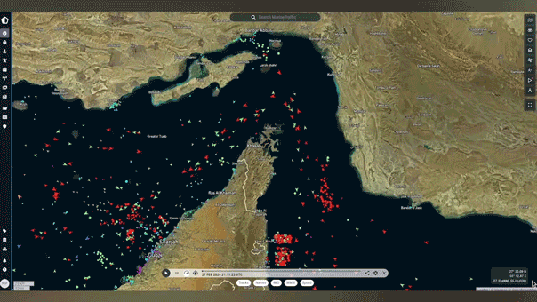
Planet Labs satellite imagery captured burning ships and damaged facilities at the Konarak base in southern Iran, as well as significant destruction at Iran’s naval headquarters in Bandar Abbas on the Persian Gulf, reflecting the scale of the strikes on military infrastructure.

Satellite imagery from Planet Labs shows damage at Konarak naval base in southern Iran, left, and Iran's Bandar Abbas naval headquarters in the Persian Gulf, right. (Planet Labs PBC)
Imagery from Vantor shows damage to facilities and vessels located in Iran's Bushehr port in the Persian Gulf.
In addition to naval assets, satellite photos show a bunker at Bushehr air base hit by a strike, leaving a large crater and destroying several nearby small buildings.
More strikes targeted the Choqa Balk drone facility in western Iran.
Radar systems at the Zahedan air base in eastern Iran — near the country’s borders with Pakistan and Afghanistan — were also struck.
The two facilities are about 800 to 900 miles apart, underscoring the broad reach of the coordinated strikes.
Satellite imagery also reveals damage to aircraft on the tarmac at Shiraz air base, including scorch marks and debris around several parking areas.

Side-by-side photos showing damage to aircraft at Shiraz air base in Shiraz, Iran on March 6, 2026. (Vantor/Maxar/Getty Images)
Satellite imagery from Planet Labs shows thick smoke plumes rising above Tehran, signaling explosions and fires inside the Iranian capital.
The smoke underscores how the conflict has moved beyond isolated military sites and into the heart of Iran’s political center.
THE UNLIKELY TOOL TRUMP IS EYEING TO TACKLE RISING OIL PRICES AMID THE IRAN CONFLICT

A satellite image from Planet Labs shows a plume of smoke above Tehran, Iran, on March 1, 2026. (Planet Labs PBC)
Iran has since responded with missile and drone strikes of its own, expanding the conflict across the region.
Satellite images reveal damage to the port city of Sharjah in the United Arab Emirates. Sharjah is the third most populous after Dubai and Abu Dhabi.
CLICK HERE TO DOWNLOAD THE FOX NEWS APP
The Jebel Ali Port, the region’s largest maritime hub, was also targeted, underscoring how the retaliation extended beyond military sites to key infrastructure.
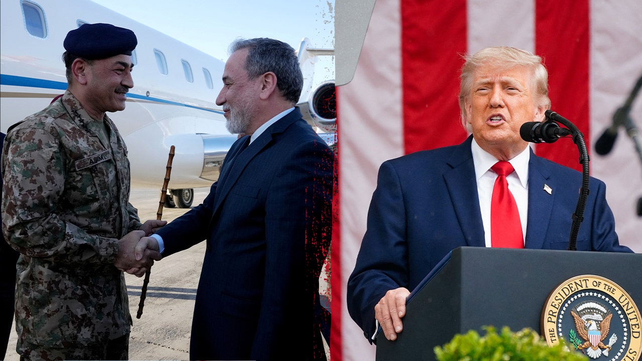
The new satellite imagery comes on the heels of U.S.-Israeli strikes that killed Iran’s supreme leader, Ayatollah Ali Khamenei, and several top members of the regime, triggering a succession crisis.
President Donald Trump warned on Sunday that Iran’s new leader is "not going to last long" without U.S. approval as Operation Epic Fury marches into a third week.
Related Article
Amanda covers the intersection of business and politics for Fox News Digital.